Your Realtor Won’t Tell You This- 8 Environmental Research Tools
Doing environmental research, due diligence, before you purchase your home or land is your responsibility and not your realtor’s or current landowners.
")
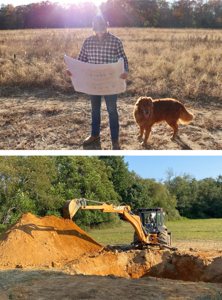
These are 8 resources you should research before closing on a house or land to discover the environmental aspects of your future property.
These resources will give you the knowledge and ability to perform a “home inspection” but for the land and the surrounding neighborhood. By understanding the property’s history, zoning, and value, you are able to decide if the property aligns with your long-term investment and is environmentally safe.
Finding the RIGHT property to buy is the hard part. These 8 resources help narrow your search and seal the deal. Taking the time to research can save you from potential financial and legal troubles down the road
Eight Environmental Resources for Researching Healthy and Safe Property
- County Tax Map
- Register of Deeds
- Google Earth Historic View
- State Radon Map
- Superfund Sites
- Brownfield Sites
- EPA GIS Map
- Cell/ 5G Towers
All of these resources are free and provided by the government applicable to the United States.
County Tax Maps
County tax map is the starting point because it will provide you with the following information
- property’s block and lot number,
- assessed value
- current cost of property taxes
- zoning classifications
this information is important to have because the block and lot number is the unique property identifier. It can help accurately locate and describe the property within public records.
The tax assessed value is determined by local tax assessors, is used to calculate property taxes. Knowing the assessed value helps you understand your tax obligations and can also provide insights into the property’s market value
The current cost of property taxes can help bring clarity for budgeting or financial planning. Property taxes are a significant ongoing expense, and understanding them helps you evaluate the total cost of owning the property
The property’s zoning classifications dictate how a property can be used. Knowing the zoning classification helps ensure that your intended use of the property is permissible and can also affect the property’s value and potential for future development.
There is no specific link for this resource because it is based on your specific county.
To find: type in your county name, your state GIS map into your search engine
Registers of Deeds
The register of deeds is a local government office that is responsible for recording and maintaining public records related to real estate transactions like deeds, mortgages, and land titles.
This office provides a centralized location where the public can access these records via online or in person.
This information may be harder to find online but should always be available at the county office.
The information on the original deed to the property you are buying can note boundary way points and possible easements or right of ways. Easements remain in effect even if the property changes ownership.
An easement is a legal right that allows one party to use another person’s land for a specific purpose. The landowner retains ownership, but the easement grants certain usage rights to others even if ownership changes. There are 3 different types of easements.
- Right of Way Easement allows someone to pass through your property, often for access to a road or another property.
- Utility Easement grants utility companies the right to install and maintain infrastructure like power lines, water pipes, or cables on your property.
- Private Easement typically involves agreements between neighbors, such as shared driveways or access to a shared well
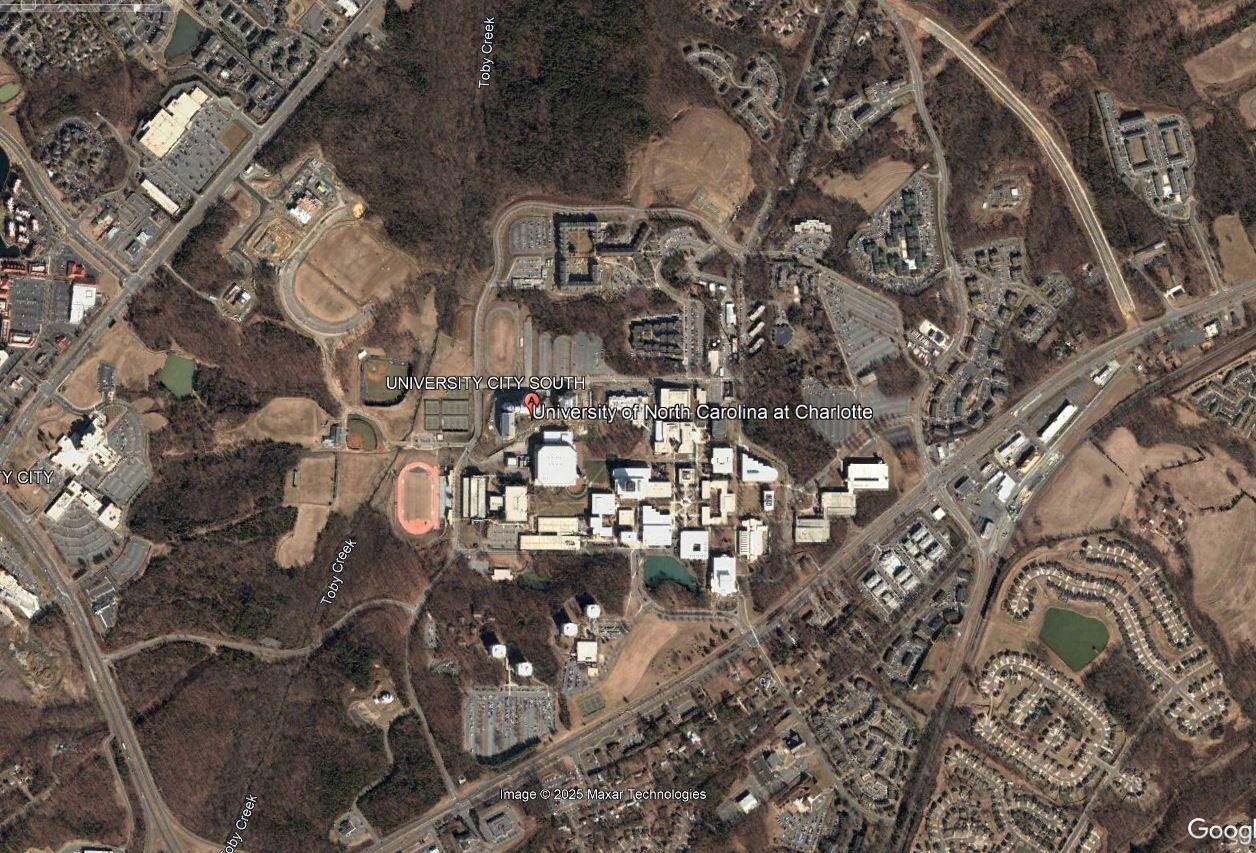
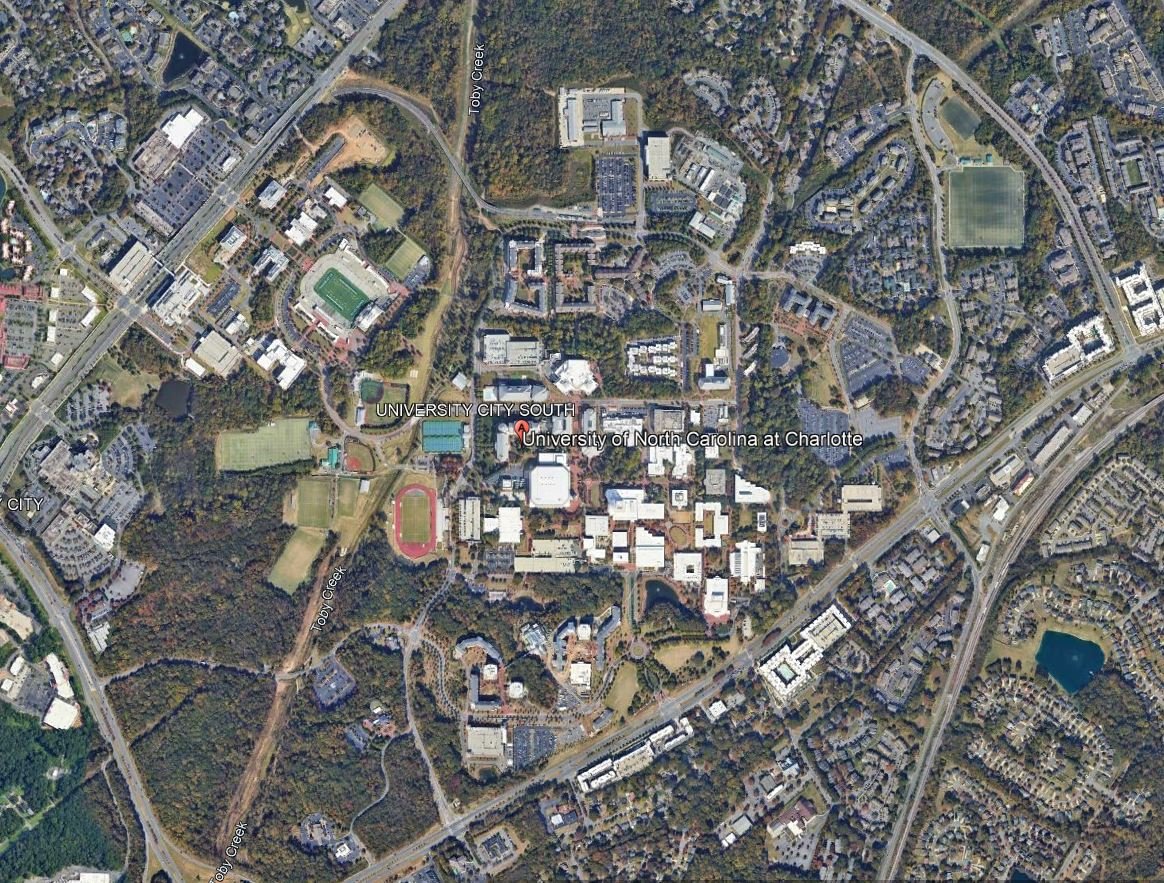
Google Earth Historic View
Google Earth historic view offers the oldest satellite imagery available for the property you are interested in. This is helpful in determining past use of the area and the surrounding area.
For example, if your property is next to a landfill that has been covered, be extra cautious of the environmental factors associated with it.
Google Earth historic view requires the free installation of Google Earth Pro on a desktop computer or website and not Google Maps.
The icon you are looking for is on the desktop version is clock with a green arrow going counterclockwise. On the website version, it is a picture of the earth with an arrow going counterclockwise
2004
2024
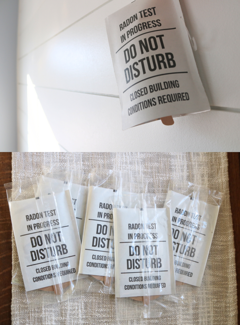
State Radon Maps
State radon maps provided by the EPA can give you a rough estimate of risk factor of radon in your county. Radon is the second leading cause of lung cancer. You can’t see it, smell it, or taste it. The only way to know if you have radon is to test for it. It is important to know what radon zone you are buying into to determine as a precautionary stance on possible radon levels and radon mitigation.
I wrote a comprehensive post about where radon comes from and its health effects here.
-
The Dangers of Radon: How to Protect Your Home and Health
Facebook Pinterest This post may contain affiliate links. Please read our disclosure policy January is national radon action month, and most people have never heard about radon before. I have been a certified radon inspector for the last 4 years and wish more people knew about radon. Radon is known as the silent killer for a…
The link to find the state radon maps based on your specific state: State Maps of Radon Zones | Radon | US EPA

This map does not determine if a home within a certain zone will have the estimated radon concentration. Elevated levels of radon are found in homes across all three zones. Test all homes regardless of zone designation.
Superfund Sites
Superfund sites are locations that are nationally recognized areas of toxic and hazardous waste that have been poorly managed. Thousands of contaminated sites exist across the United States due to hazardous waste being improperly managed.
These sites include manufacturing facilities, processing plants, landfills and mining sites.
Contaminants:
- Lead – the sources of lead pollution can range from soil, water, building materials, or manufacturing emissions. Lead poisoning in humans can lead to developmental delays in children, undesired outcomes for pregnancy, and a range of other effects. Fortunately, it can be filtered out of the body over time, but can be stored in the bones.
- Asbestos – is a naturally occurring mineral that was commonly used in building materials and still used today even though it was mostly banned. The health effects of asbestos come from exposure to its dust. The fine asbestos particles can become trapped inside your lungs and cause asbestosis.
- Dioxin – Dioxins are a group of compounds that share distinct chemical structures and characteristics and are considered most toxic. They are commonly found as a result of industrial or agricultural processes and can even be naturally occurring in the food chain or forest fires. They can cause serious health issues, including cancer, reproductive and developmental problems, and damage to the immune system
- Soil Bioavailability –Bioavailability is the amount of a contaminant that can be absorbed into the body following skin contact, ingestion or inhalation. Any type of soil contamination via oral pathway.
- Radiation – the sources of radiation can vary. Most common sources are nuclear power plants, medical procedures, industrial processes, and improper waste techniques. There are acute and long-term health effects of radiation on humans.
N.P.L.
Once a location is identified as a Superfund site, it makes the Superfund National Priorities List (NPL)
The National Priorities List (NPL) is the list of sites of national priority among the known releases of hazardous substances, pollutants, or contaminants across the United States. The NPL is intended primarily to guide the EPA in determining which sites warrant further investigation.
When there is no viable responsible party, Superfund gives EPA the funds and authority to clean up contaminated sites.
How they cleanup sites: Superfund Cleanup Process | US EPA
How to find superfund sites: Search for Superfund Sites Where You Live | US EPA
Brownfield Sites
A brownfield site is a property that is planned for redevelopment or reuse, which may be complicated by the presence or potential presence of a hazardous substance, pollutant, or contaminant. It is estimated that there are more than 450,000 brownfields in the U.S.
The incentive for cleaning up and redeveloping brownfield sites are to increase local tax bases, create jobs, take development pressures off of undeveloped, open land, and preserve the environment.
In short: Brownfield sites are areas of known pollution that the government cleans up and redevelops for financial benefit. These are the most important to research because you could discover that a local park or school was previously built on top of an old leaking landfill.
To find you need to select the map layer in our next resource
EPA Enviroatlas GIS Map
The EPA Enviroatlas is a GIS map that has over 500 layers to search by. GIS stands for Geographic Information System. It’s a framework of gathering, managing, and analyzing spatial and geographic data.
The layers of this map range from wetlands, walkability, endangered birds, air quality, to brownfield, superfund sites and more.
Searching through the different features and layers of this map will help you gain a better understanding of your property.
For example: if the property is home to endangered birds, you might not be permitted to cut down trees. Same with wetland delineations.
To use: EnviroAtlas
Cell / 5G Towers
This one isn’t as widely accepted as other pollutants in our environment, but still important to note as more research becomes available.
Cell towers contain wireless antennas that emit radio frequency (RF) non-ionizing radiation. When these towers are close to our homes and schools, our daily exposure to RF radiation is increased.
RF radiation is considered a new form of environmental pollution. It is not widely accepted, although published peer-reviewed science has linked cell tower radiation to harmful effects on humans.
Compilation of Research Studies on Cell Tower Radiation and Health – Environmental Health Trust
The recommendations are to live more than a quarter mile away from a cell tower or 5G tower. Oftentimes they are disguised as trees or cactus, light poles, or on buildings.
To find: https://www.antennasearch.com/
There’s noticeably a bundle to learn about this. I assume you made certain good points in features also.
I like this post, enjoyed this one regards for putting up.